Geospatial Lab and ICIMOD started an innovate approach of heritage information archive of Kathmandu metropolitan city. The android application, “KTM Heritage” is a modified version of “Disaster Reporting” built for volunteers mobilized by Kathmandu metropolitan.
The app has limited field as it is taken as a means to capture spatial feature(geotag heritage and it’s image) in order to create a spatial database of post and pre earthquake merging with the digitised paper based reports.
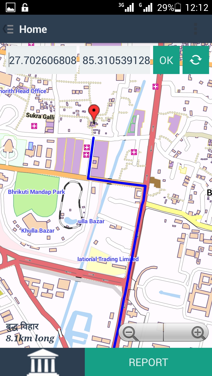
Some of the snaps of KTM Heritage: